 Charlie_13
No one has voted on any posts yet. Votes from other community members are used to determine a member's reputation amongst their peers.
|
|
Hi I have done the mapping and the extration of the raster data from the images.Then i have implemented it to the Arcmap.Can anyone help for the optimization purpose.I hace to optimized the placement of the microphones on the vast area. 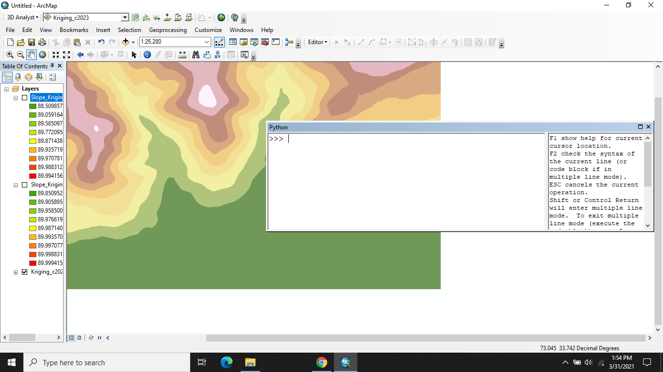 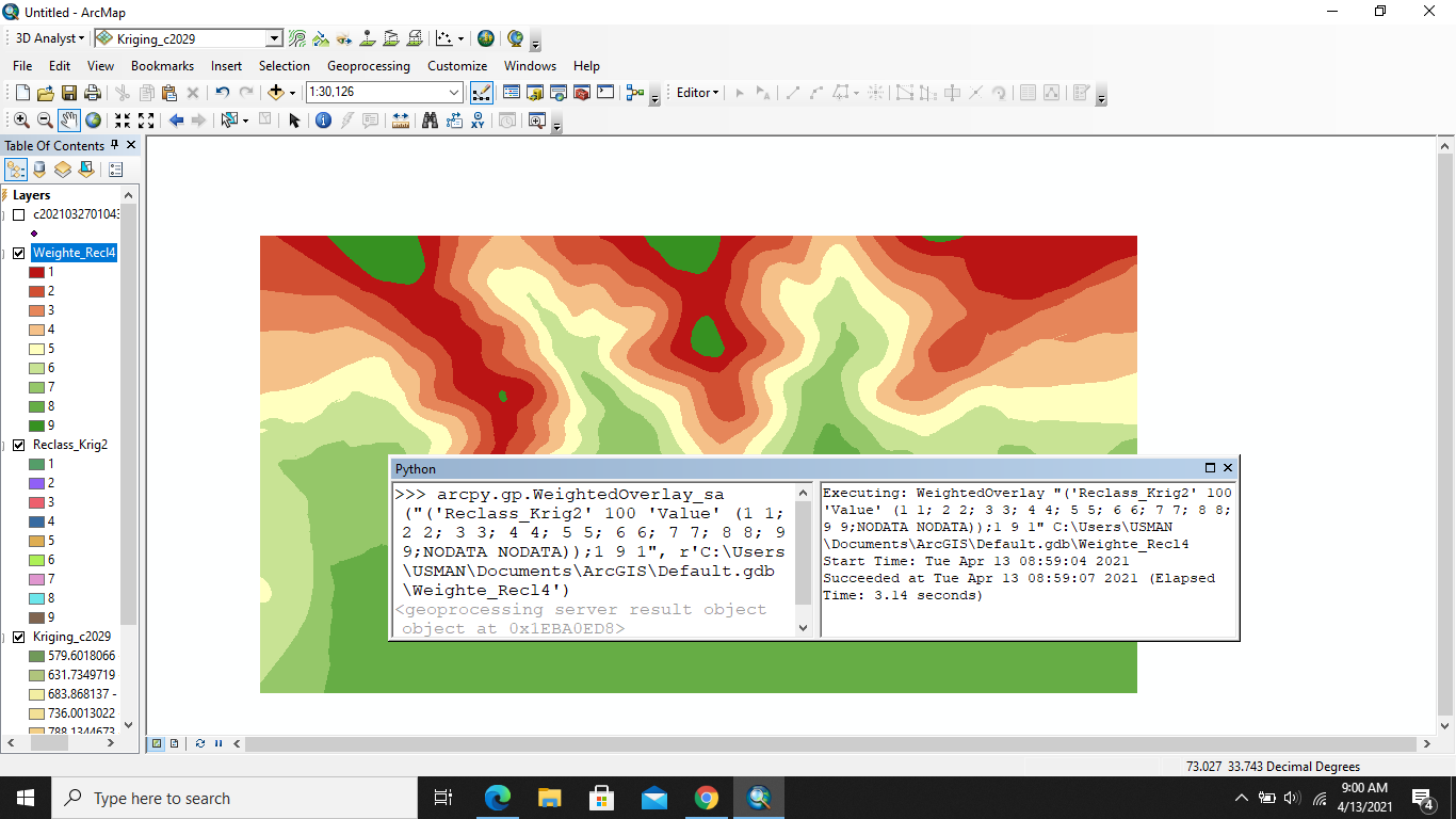 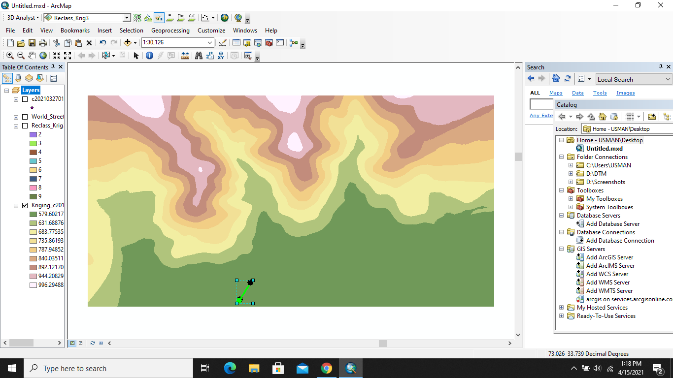 I need help for the designing … |
|
|
Python program that will 1)Define a single point for the red/green dot near the supposedly enemy territory; 2)Define a subset A of your DEM raster image towards the friendly territory; 3)Calculate the line of sight for each pair (of observation pixel to target pixel); 4)Sum the total number of green … |